The Broward MPO collects various types of data related to our region’s roadway network and makes this data available to both our partners and the public. This page offers access to our most recent roadway data in the form of static maps and Geographic Information System (GIS) files.
Traffic Data
- Level of Service Spreadsheet- 2020
- Traffic Analysis Zones (TAZ) 2010 Map -- PDF 7mb/ GIS Data zip
- Traffic Analysis Zones (TAZ) Viewer
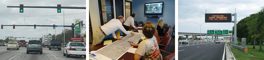
- Traffic Signal Locations Map -- PDF 9mb / GIS Data zip
- The Annual Average Daily Traffic (AADT) Count Data
- FDOT Traffic Online - AADT for Broward County
Archived Traffic Data
- Level of Service Spreadsheet-2017 xls
- Traffic Analysis Zones (TAZ) 2007 Map -- PDF 8mb/ GIS Data zip
- Traffic Analysis Zones (TAZ) 2000 Map -- PDF 6mb/ GIS Data zip
- Level of Service Spreadsheet-2013 xls
- Level of Service Spreadsheet-2012 xls
- Level of Service Spreadsheet-2011 xls
- Level of Service Spreadsheet-2010 xls
- Level of Service Spreadsheet-2009 xls
Federal Functional Classification
The Federal Functional Classification process attempts to group roadways into classes, or systems, according to the character of service they provide in the year of analysis. This process helps determine eligibility of roadways for funding under federal aid programs such as the Federal Highway Administration's (FHWA's) emergency relief program.
- 2010 Federal Functional Classification Updated 01/23/14
- 2010 Federal Functional Classification and Urban Boundaries Map Updated 01/23/14
- 2011 Highway Functional Classifications Map: Jurisdictions and Lane Arrangements
- Highway Functional Classification Concepts, Criteria and Procedures
- AADT Range Table
- Application for Functional Classification Change
GIS Data
Coming Soon
For More Information
Please contact Peter Gies at (954) 876-0048 or giesp@browardmpo.org to learn more about the Broward MPO and what they are working on in your community.